
Lagos State Cities and Towns Map
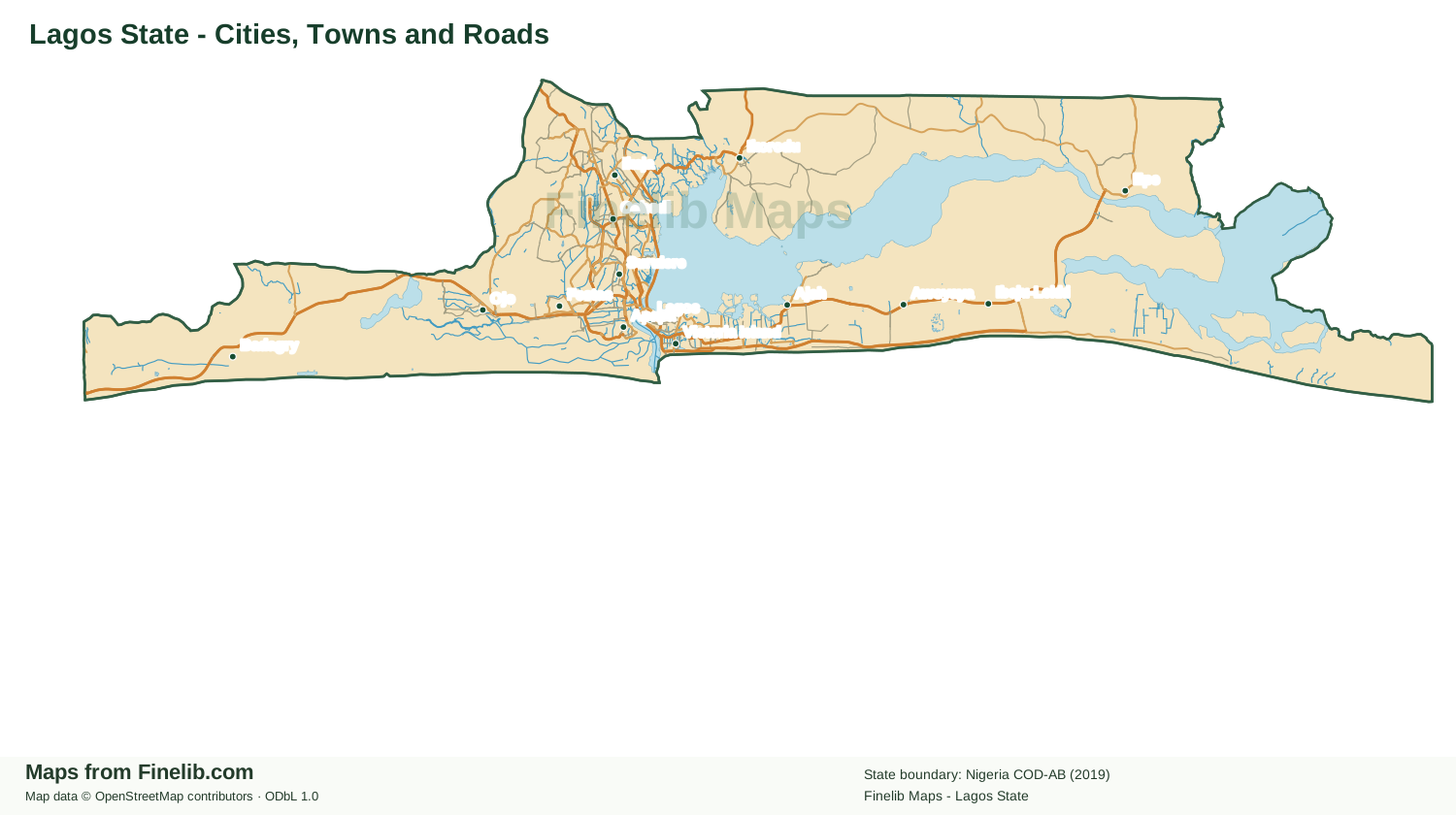
Explore Lagos State cities, towns, major roads and waterways, clipped to the official state boundary. On mobile, swipe to pan the map and use the zoom buttons to explore.
Geographic data and licensing
The Lagos State outline is from the supplied Nigeria COD administrative boundary shapefile (ADM1, 2019). Roads, settlements and waterways are from the Nigeria OpenStreetMap extract supplied for Finelib Maps. Boundary data attribution: Nigeria COD-AB, humanitarian administrative boundaries; source and reuse terms must be confirmed before public deployment. Map data © OpenStreetMap contributors, ODbL 1.0. Cartographic layout and design by Finelib.com.
Frequently Asked Questions
Does this map show the official Lagos State boundary?
The official Lagos State boundary is included. Final visual and mobile QA is still required before publication.
Can I move the map on a mobile phone?
Yes. Swipe horizontally to pan around the map. Use the zoom controls above the map to enlarge details and Reset view to return to the initial position.
Map download
Download the Lagos State SVG for inspection. Attribution is embedded in the vector artwork.
Explore more Nigerian state maps
Map questions for this location
What can I explore on Lagos State Cities and Towns Map?
This Finelib Maps page focuses on cities and towns. Use the available map controls to explore the labelled settlements and mapped geographic features. Related maps provide complementary views of the same area.
Can I rely on Lagos State Cities and Towns Map for official boundary decisions?
The map is intended for general geographic reference. Source coverage, administrative boundaries and labels may change. Verify legal or administrative boundaries using current official records.