
Nigeria Political Map: 36 States and FCT Abuja
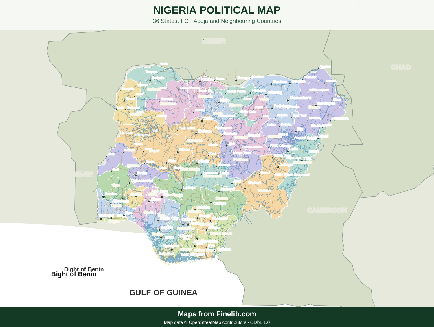
Explore Nigeria’s state boundaries in a large, scalable map. Swipe to pan on mobile or use the zoom controls to examine details on a larger screen.
About this Nigeria political map
This vector reference shows the 36 states and FCT Abuja. It is suitable for exploring state boundaries and for linking to the more detailed interactive state maps in Finelib Knowledge.
Cartographic data status: The verified major-city, town and highway layers are not yet integrated. Road lines and settlement markers will be added only after their geographic positions and source licensing have been checked.
Explore the Nigeria Interactive Map to select individual states. The political map uses original Finelib styling and preserves the map attribution.
Frequently asked questions
Map sources: Surrounding country outlines use Natural Earth low-resolution public-domain geographic data; city locations are approximate geographic reference points. Nigerian state artwork is retained from the Finelib reference map. Regional coastlines and border alignment should be reviewed at high resolution before publication.
What does the Nigeria political map show?
The map shows Nigeria’s 36 states and the Federal Capital Territory (FCT Abuja), with their state boundaries.
How can I explore the map on a phone?
Swipe horizontally or vertically inside the map viewer, and use the zoom buttons to increase or decrease its size.
Does the map include roads and towns?
This revision displays the verified state-boundary artwork. A road and settlement layer must be checked against geographic source data before being represented as accurate.
Can I download the map?
Yes. Download the scalable SVG file for viewing at a larger size. Preserve the Finelib credit and applicable geographic-data attribution.
Download Nigeria Political Map
You can download this map for your school projects or online or any project you are doing. For online reference, a link to Finelib.com with the credit Map from Finelib.com is necessary.
Map questions for this location
What can I explore on Nigeria Political Map: 36 States and FCT Abuja?
This Finelib Maps page focuses on interactive geography. Use the available map controls to zoom, pan and select geographic areas where supported. Related maps provide complementary views of the same area.
Can I rely on Nigeria Political Map: 36 States and FCT Abuja for official boundary decisions?
The map is intended for general geographic reference. Source coverage, administrative boundaries and labels may change. Verify legal or administrative boundaries using current official records.